Niedere Sarsteinalm
When we have hiked much in the Dachstein region, and collected many hiking stamps, we can trust ourselves to undertake a mountain tour without the use of a cable-car. Conquering the Sarstein takes a whole day, or an overnight stay in a hut. 1 should like to describe the simplest and safest route. We drive by car, or take a taxi, as early as possible in the morning to Au in Steeg, then take the short-cut to St. Agatha and the Pötschen Pass road. We can park at the first parking area on the right after the first big bend.
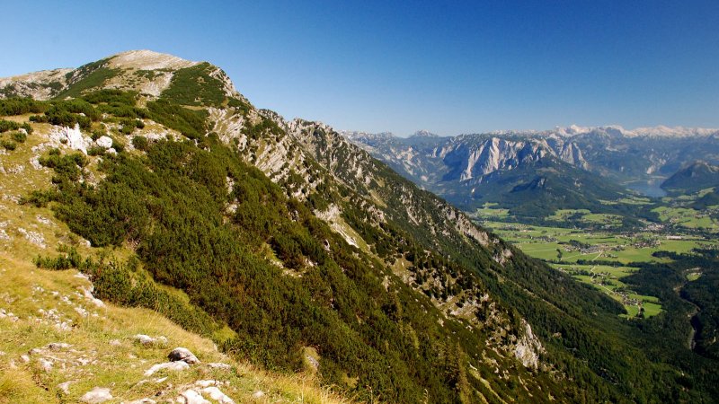
From there, a steep woodland path leads up to the Simony-Aussicht (Simony Lookout- 886 m). Between the rocky slopes of the Falleck (1,741 m) and the Wasserfallkogel (1,630 m), a mountain path, with countless serpentine bends, leads high on to the steep slope of the Hohen Sarstein.
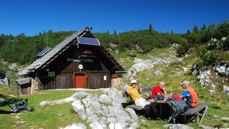
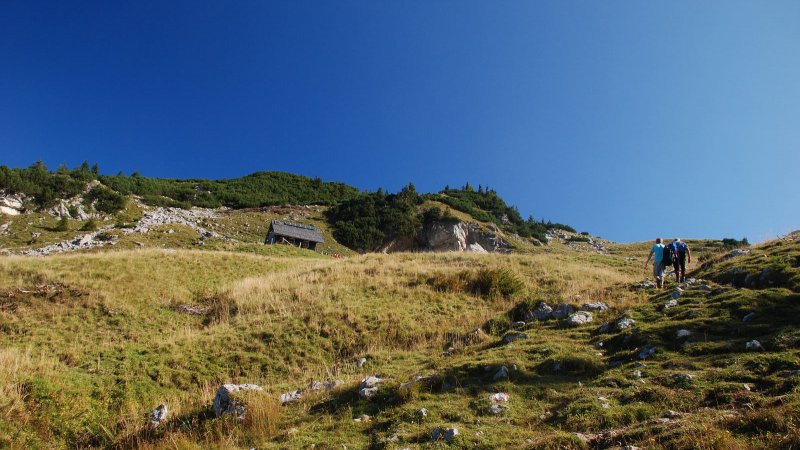
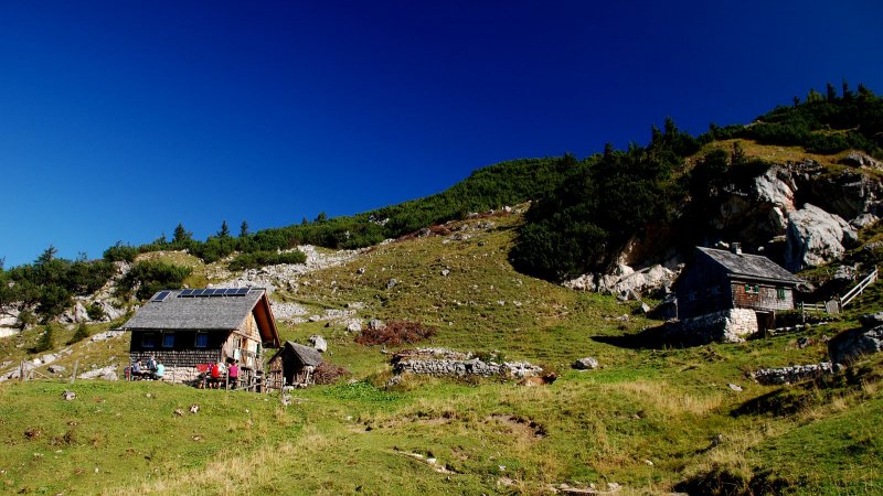
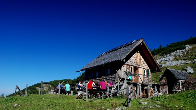
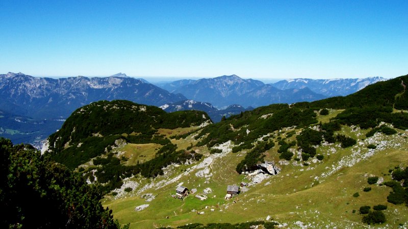
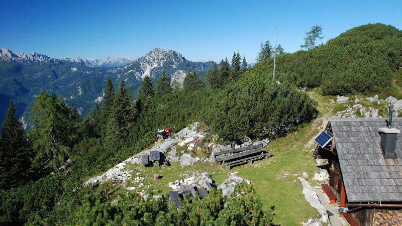
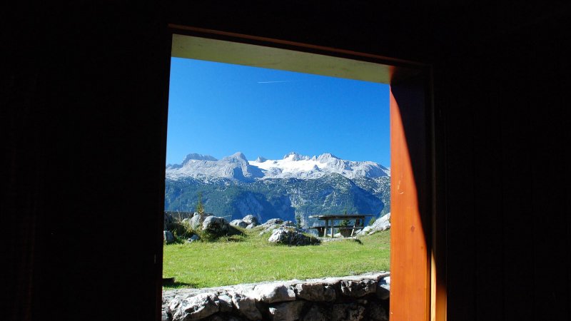
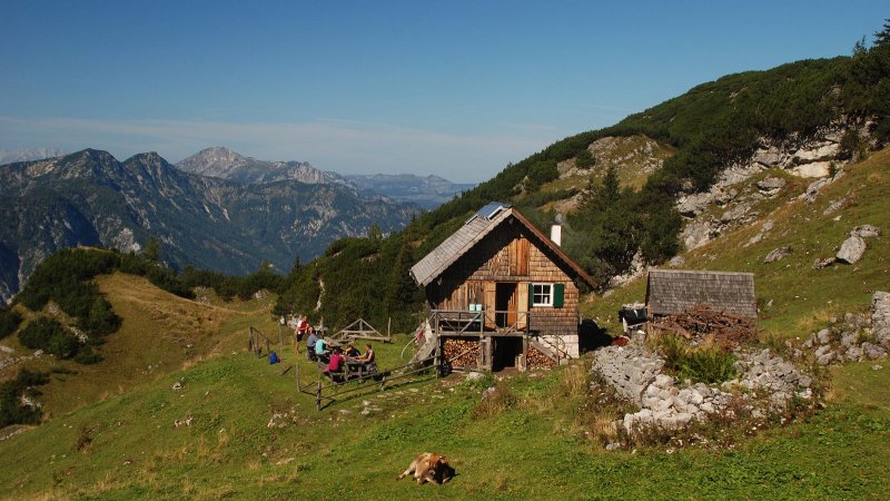
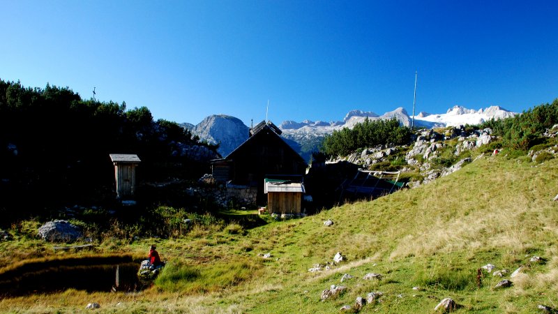
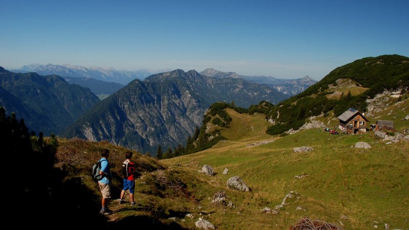
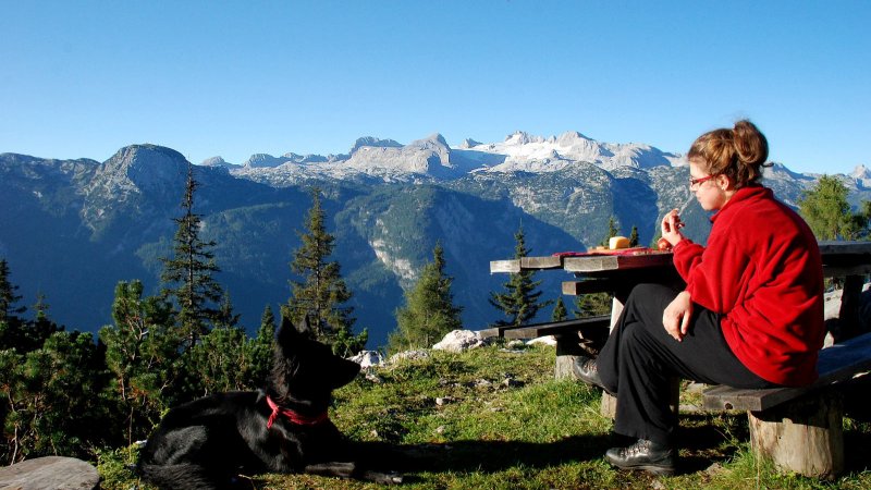
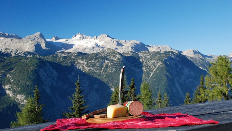
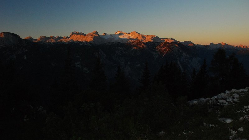
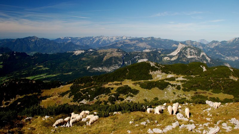
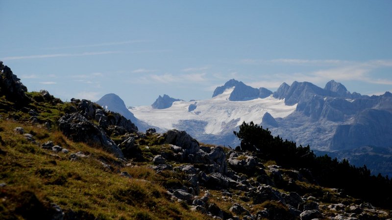
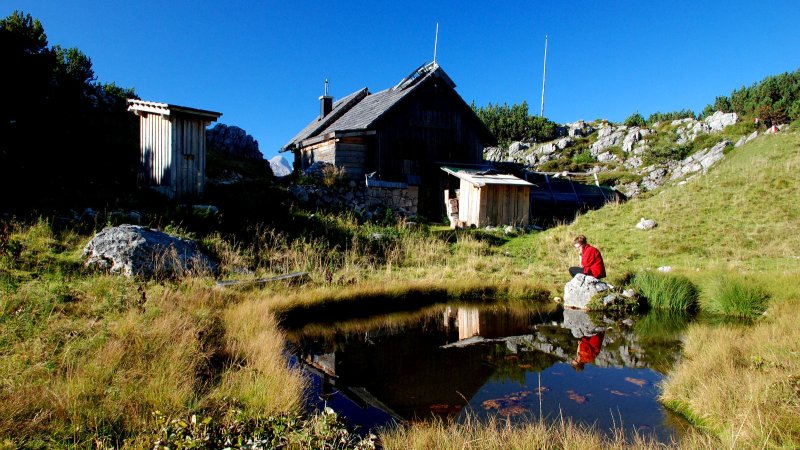
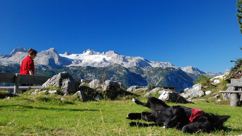
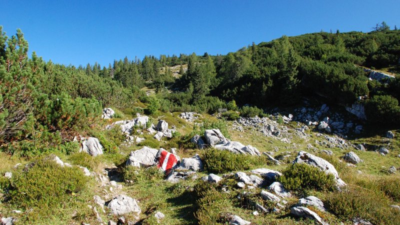
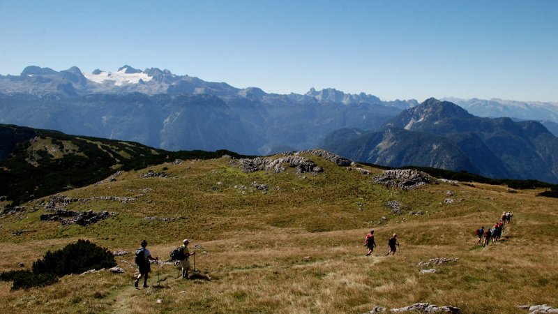
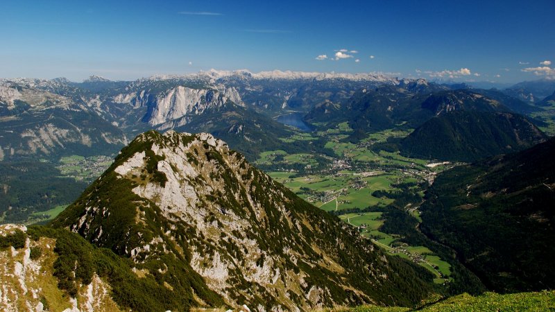
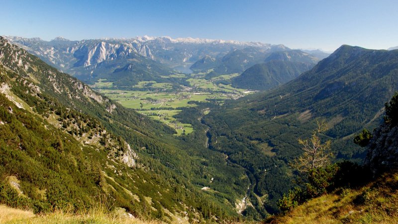
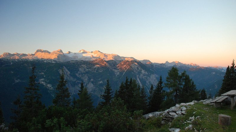
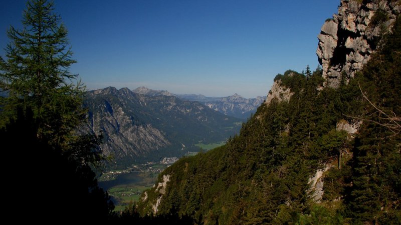
After a three-hour march, which leads us through beautiful high mountain landscapes with views of the Dachstein, we reach the Niedere Sarsteinalm (1,710 m), in dwarfpine country, which lies on the Sarstein saddle. This, the highest meadow in the Salzkammergut, offers provisions throughout the summer. And a spring gives us refreshment, too. The view to the wild battlements of the Gosaukamm is marvellous. But the peak of the Sarstein, which we can reach from here in one hour, draws us on.
Sarstein Crossing
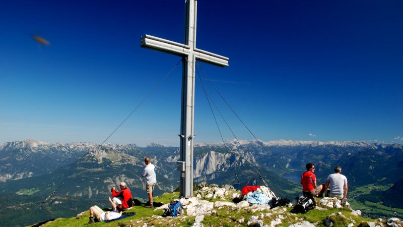
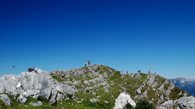
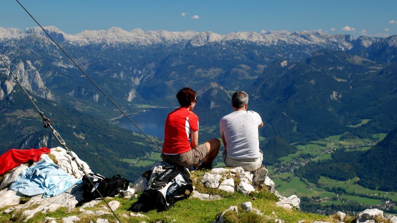
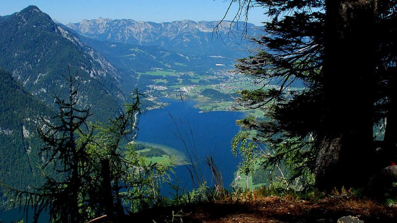
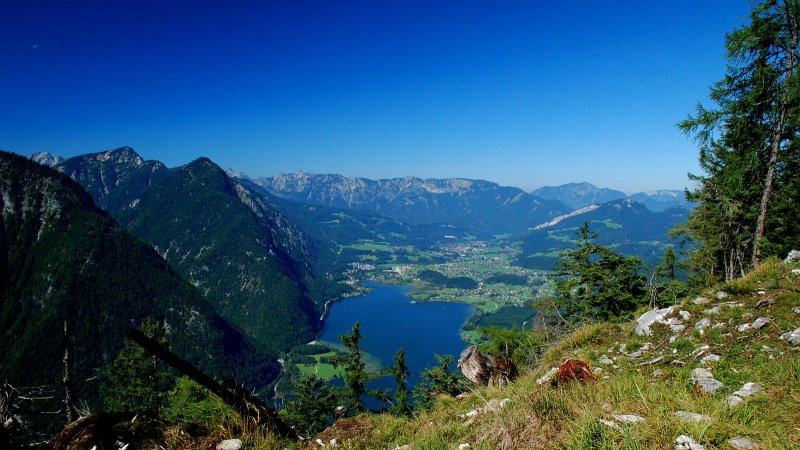
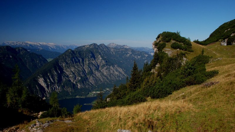
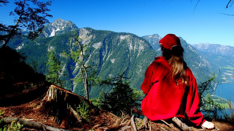
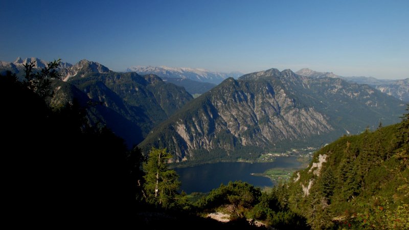
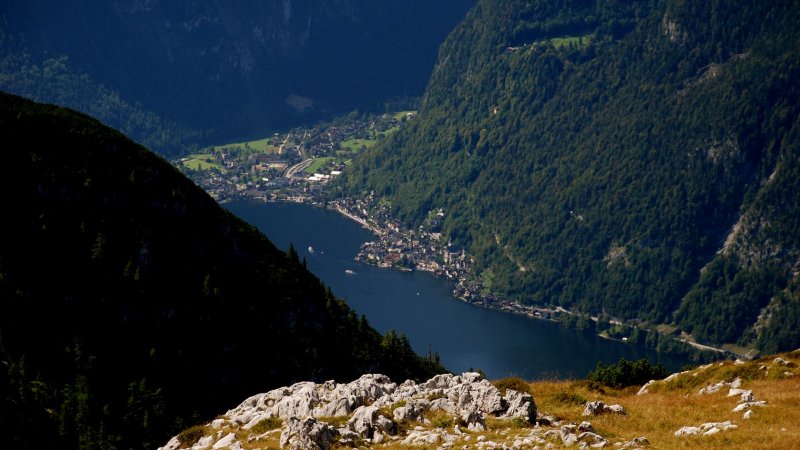
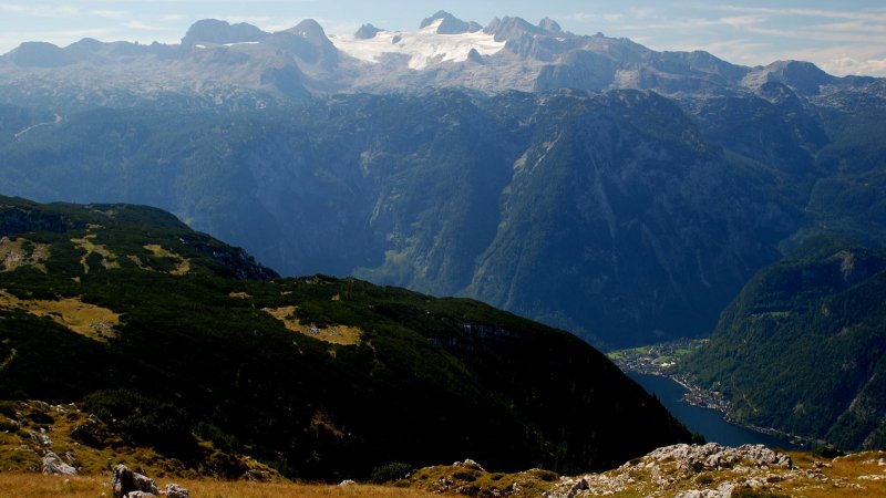
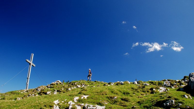
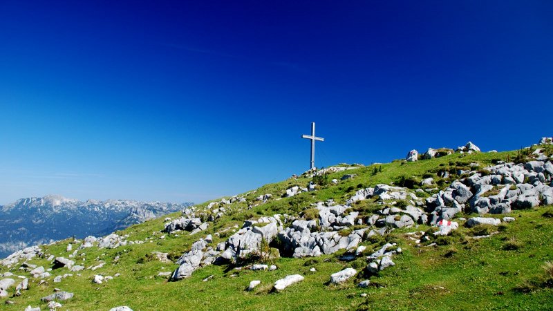
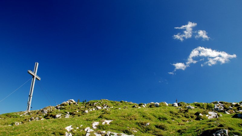
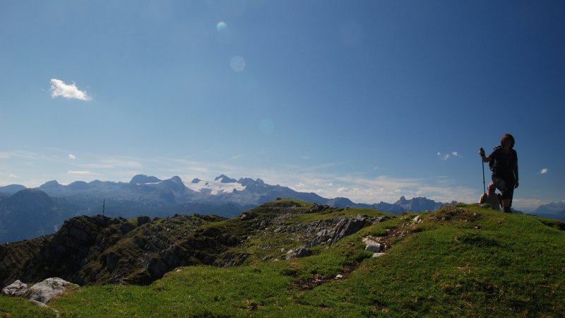
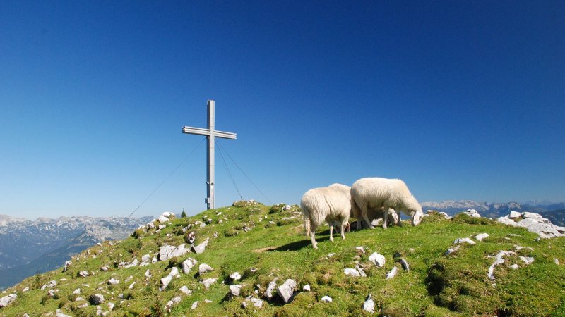
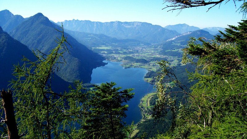
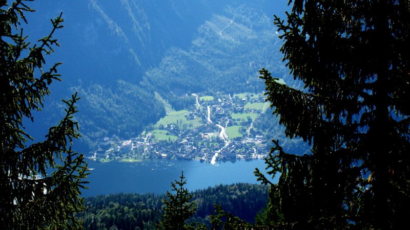
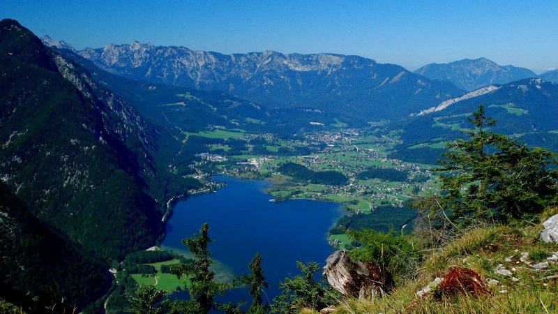
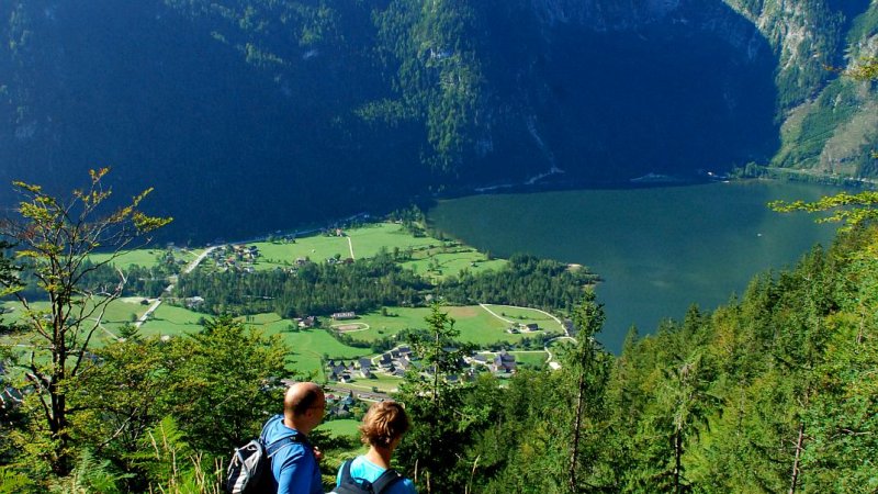
The complete Sarsteinüberquerung (Sarstein Crossing) is an extended but rewarding whole day's tour. From the Niederen Sarsteinalm we have to walk on a lovely mountain path through dwarfpines to reach the summit area of the Sarstein. Back to the north we still have a marvellous view over the rest of the Salzkammergut, beginning with the Gosau and Salzburg mountains, over the Katergebirge and the Schafberg to the Traunstein, the Altaussee lake and the Grundlsee with the Toten Gebirge. Suddenly the mighty Dachstein appears, and we can soon discover the Sarstein's steel summit eross (1,975 m). The view of the mountains is overwhelming. The Styrian mountains open up and far below us lies the fjord-like Hallstatt lake and the town, which one can rightly claim to lie at the foot of the Dachstein.
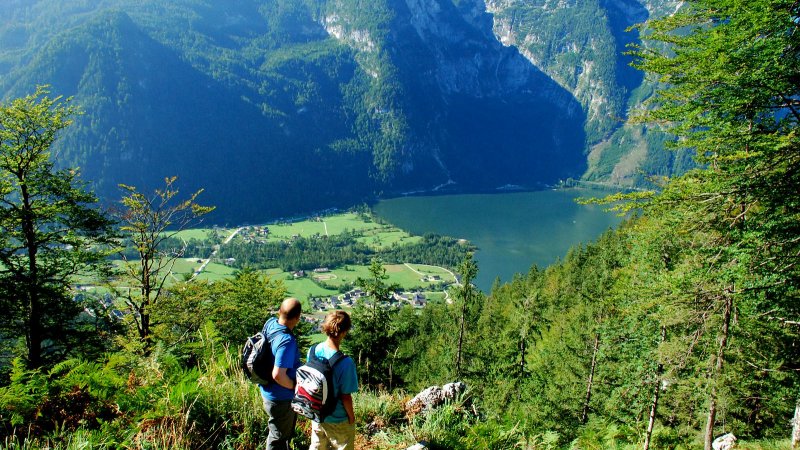
Mountain fans have the loveliest panoramic view here in the alpine world. Soft mountain grass invites us to a rest on the summit. Mountain jackdaws have become our silent friends. Chamois are to be seen occasionally and sheep graze in the Hohen Sarstein region. After a deserved rest we carry on toward Obertraun and cross the whole Sarstein. With a marvellous view to the Dachstein, into the Aussee region and Hallstatt, we walk comfortably over the shoulder of the mountain. Our legs are now relieved of strain. After one hour we are at the Obertraun Sarsteinhütte (1,650 m). We then take the steep path, which brings us down to Obertraun after hundreds of serpentine bends. In just three hours we reach the valley. We can then return to Hallstatt or Steeg by bus, rail or taxi . This hike is possible in the reverse direction. You will agree with nie, the Sarstein crossing will count among your loveliest mountain tours.
Don’t forget to make your mark!
Perpetuate - make your mark. What is the point in a visit to the summit cross without leaving behind an entry in the logbook? You will also find a ‘summit book’ on the top – those who come after you will enjoy reading your entries!
Obertrauner Sarstein Hut
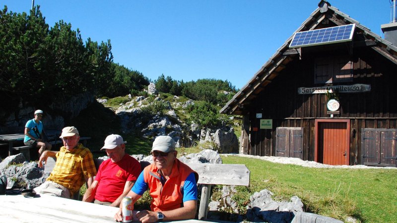
The climb begins at the Catholic church in Obertraun , and leads us, after turning off to the right at the graveyard after 150 metres, to the Brettstein. We can rest and enjoy the lovely view into the valley. WC carry on, following the path, No. 692, across the 'Almriedl' to `Bründlleiten' where we already see the mighty glacier world of the Hohen Dachstein. After two hours, we stop to rest at the Goiserer Aussicht. The view, deep below, comprises the Hallstatt lake, the town and the northern end of the lake where the river Traun enters it. A further hour and we are at the Obertrauner Sarsteinhütte (alt. 1,650 m), accommodation run by the Obertraun Nature Lovers Association. (The hut offers provisions only at weekends, between the beginning of July and the middle of September. The Obertraun Tourist Office gives information for overnight stays.) The hike further to the summit of the Hohen Sarstein (1,975 m- 33), reached in an hour, is not difficult.
VIDEO
Hiking Mount Sarstein in Austria
More offers on Mount Sarstein
Places of happiness: Hoher Sarstein - The peak of emotions!
Bad Goisern | Incomparable mountain panorama combined with boundless freedom. A Front row seat in the World Heritage for the experienced mountain hiker!
Available accommodation for your hiking holiday in the Salzkammergut
Hotels and accommodation providers in Hallstatt, Bad Goisern, Gosau and Obertraun offer the ideal room or apartment for your holidays, no matter what your tastes. Aside from establishments rated according to the international "star" scale, you will also find around Lake Hallstatt in Austria businesses that have been awarded two to four "edelweiss". The more flowers, the greater comforts you can expect. Whether you eventually find your cozy nest in an elegant 5-star luxury hotel, at comfortable guesthouse, a family-friendly apartment, or on a traditional farm, the choice is always entirely up to you.

